
What this workflow produces
A local project connecting your area, selected Sentinel-2 L2A scenes, downloaded RGB or SCL files, and supported clipped or mosaicked GeoTIFF results.
This describes the current development build. Public installation instructions will follow the verified Windows release.
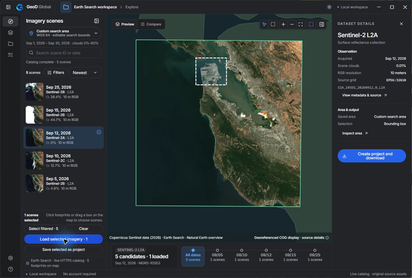
From area to local project
Choose the area and collection
Start with your study area and the supported Sentinel-2 L2A catalog from Earth Search or Planetary Computer. Review acquisition dates, scene coverage, and cloud metadata.
Keep selected scenes in one project
Select the scenes relevant to your task and organize them in a named project. Keep the selected scene identities with the area so that you can continue the same work later.
Download and inspect source files
Download the supported RGB or SCL source files. Display the local raster and inspect its source pixels. SCL values are classification codes; the displayed colors help you interpret those codes.
Prepare compatible rasters
Clip a supported raster to the project area or mosaic compatible rasters on the same grid. Check the product, band layout, CRS, and grid before combining files.
Check the saved result
Keep the GeoTIFF result alongside the source files. Before using it in analysis, confirm its extent, CRS, pixel values, and attribution in your downstream GIS tool.
Current scope
Current development evidence covers public COG workflows for selected Sentinel-2 L2A products. Processing is product- and grid-specific. General reprojection and arbitrary cross-source mosaics are still being developed. Protected Copernicus SAFE production downloads have separate authorization and verification requirements.
Continue in your GIS workflow
Use the result as a data-preparation input in your existing GIS. Check interpretation and quality requirements for your analysis; this guide does not describe a complete classification or cloud-masking pipeline.