
What this workflow produces
A local project containing Copernicus DEM GLO-30 Public source tiles and supported clipped or same-grid mosaicked GeoTIFF results, preserving Float32 elevation values.
This describes the current development build. Public installation instructions will follow the verified Windows release.
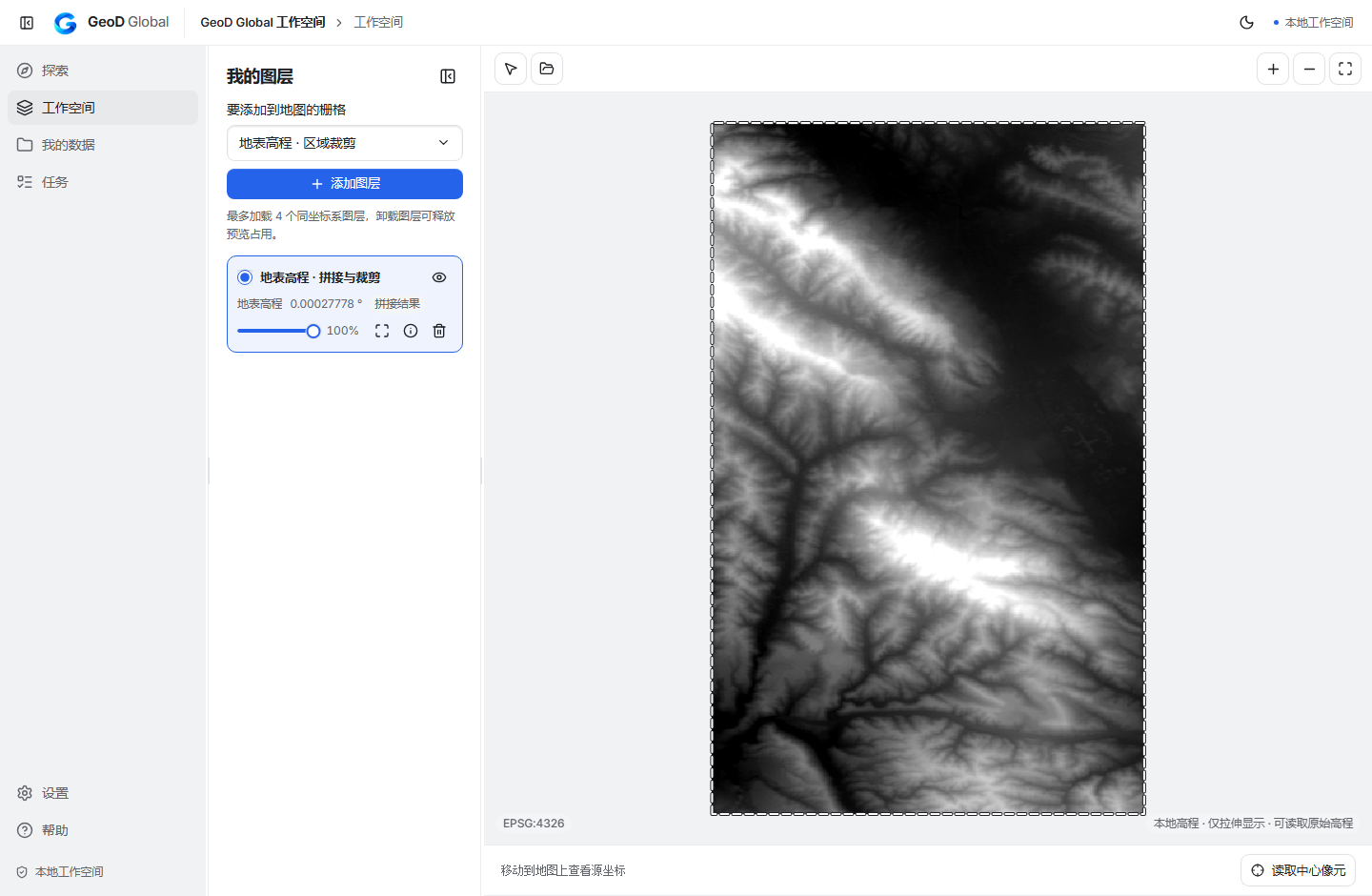
From area to local project
Check public coverage for the area
Select Copernicus DEM GLO-30 Public and inspect available tiles. Coverage depends on the public product; an area without a tile may be outside its published coverage.
Download the elevation source tiles
Keep the original files in your project with their source and product identity. Read grid spacing from the actual file metadata.
Inspect original elevation values
Use the local display and source-pixel inspection. Elevations are in meters with the EGM2008 vertical reference. Zero and negative elevations can be valid.
Clip or mosaic supported grids
Prepare compatible source tiles using the supported project operation. Preserve Float32 values and keep display stretching separate from the output measurements.
Confirm the downstream interpretation
Check the resulting GeoTIFF's extent, horizontal CRS, grid spacing, values, and vertical reference before using it in your next GIS task.
Current scope
GLO-30 is a digital surface model and includes buildings and vegetation. Its horizontal grid is geographic EPSG:4326, so angular spacing should not be described as a constant number of meters. General reprojection, different-spacing resampling, and terrain analysis remain pending. This workflow does not establish support for GLO-90 or protected NASA elevation products.
Continue in your GIS workflow
Continue with the GIS tools you use for reprojection and terrain analysis. Preserve product attribution and vertical-reference information with the deliverable.